ADVENTURE HIKES AND CANYONEERING
IN THE SOUTHWEST
© Christopher Earls Brennen

|
|---|

|
Hike K17. Mount San Gorgonio
- Hiking time: about 15 hours
- Estimated hiking distance: 21 miles
- Elevation gain: 4600 feet
- USGS Topo Map: San Gorgonio Mountain, Big Bear Lake, Moonridge
- Difficulties: Very strenuous hike and long day
- Special equipment: Plenty of water, headlight
Characteristics
This is an awesome and challenging hike to the summit of San Gorgonio, the highest mountain in Southern California. You climb through beautiful alpine meadows and lakes to the barren slopes above the treeline and on to the 11496ft summit of San Gorgonio almost ten miles from the start. The descent on the east slopes of the mountain is equally spectacular and passes the wreckage of a USAF plane. The total length of the hike, some 21mi, requires a very full day beginning before dawn and ending in the dusk and is therefore only advisable in the summer or early fall. That and the summit weather require careful hiking preparations including plentiful water and flashlight.
|
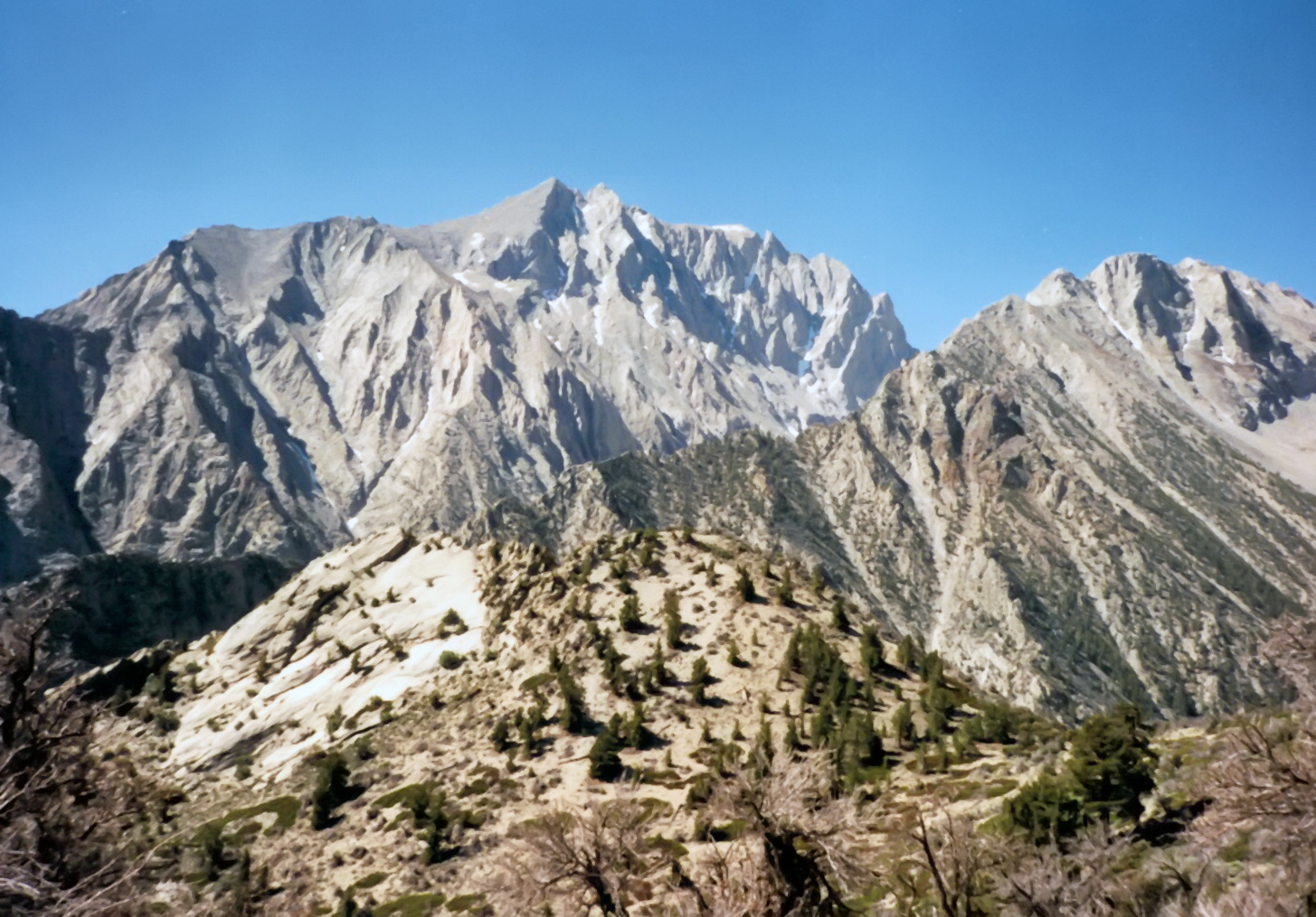
|---|
| Mount San Gorgonio from the valley below. |
Trailhead
The South Fork Trailhead is at 6900ft and is located on Jenks Lake Road, 2.5mi from Highway 38 at 34.16169oN 116.87215oW. From the large paved parking area, the trail starts on the opposite side of the road across from the vault toilet.
Hike
The South Fork Trail (1E04.1) climbs gently towards Horse Meadows (34.15355oN 116.86489oW, elevatiom 7395ft and 1.3mi from the start) and at 2.5mi from the trailhead it crosses the San Gorgonio Wilderness boundary. Shortly thereafter at 34.14458oN 116.85452oW and an elevation of 7831ft there is a short side trail to Poop-Out Hill, 7740ft, and a Wilderness information display. The main trail then continues to the Dry Lake Trail Junction at 34.13074oN 116.84359oW and an elevation of 8198ft at 3.6mi from the start. The left fork leads east to Dry Lake, 1.5mi away. We take the right fork which leads across South Fork Meadows (8200ft) toward Dollar Lake and the Dollar Lake Forks Trail Camp 5.6mi from the start at 34.12529oN 116.85728oW and an elevation of 9488ft. Dollar Lake itself is 0.3mi away down a side trail. (Camping is prohibited within 0.25 miles of Dollar Lake.) A little over a half mile further brings you to the junction with San Bernadino Peak Divide Trail and the Falls Creek Trail at 34.11828oN 116.86051oW and an elevation of 9974ft. some 6.21mi from the start.
You now approach the treeline and it can be cold and windy from here on as you gradually climb toward the summit of San Gorgonio Peak. Just before the summit there are a series of trail junctions. The Vivian Creek trail, a popular alternative to the present summit trail, joins about 34.10123oN 116.83410oW and an elevation of 11231ft. Shortly after and 9.5mi from the start, you come to the junction with the Sky High Trail at 34.10114oN 116.83080oW at an elevation of 11355ft. This is the return route after a visit to the summit. The summit itself is less than half a mile away at 34.09912oN 116.82480oW and an elevation 11496ft and 9.9mi from the start.
Retracing your path down from the summit you turn left onto the Sky High Trail at 34.10114oN 116.83080oW at an elevation of 11355ft and 10.4mi from the start. Proceeding south and contouring around the mountain you pass high above The Tarse and then around to the eastern slopes of the mountain. Here the trail crosses a wild, windy rock slope and passes the remains of an airplane wreck strewn over the rocky slope. These are the remains of an Air Force C-47D that had crashed into the snowy south slope of San Gorgonio Peak in 1952 probably because it inadvertently entered Whitewater Canyon and could not climb out of that closed canyon.
As you descend you pass through the tree line and eventually come to the
Mine Shaft Saddle at
34.10983oN 116.82360oW and an elevation of 9934ft, some
14.0mi from the start. The trail then winds down to
Dry Lake at
34.11925oN 116.82889oW and an elevation of 9075ft, some
16.0mi from the start. Skirting around the west shore of the lake you continue
on down along Dry Lake Trail to the junction with your ascent trail at
Dry Lake Trail Junction at
34.13074oN 116.84356oW and an elevation of 8205ft. some
17.6mi from the start. The rest of the hike retraces your ascent route past
Poopout Hill (18.9mi from the start) and Horse Meadows
(19.9mi from the start) before returning to the South Fork Trailhead
(34.16152oN 116.87199oW, elevation 6883ft)
21.2mi from the start.
Christopher E. Brennen