ADVENTURE HIKES AND CANYONEERING
IN THE SOUTHWEST
© Christopher Earls Brennen

|
|---|

|
Hike K18. San Bernadino Peak
- Hiking time: total hiking time of about 18 hours
- Estimated hiking distance: 22 miles
- Elevation gain: 3730 feet
- USGS Topo Map: San Gorgonio Mountain, Forest Falls, Big Bear Lake, Moonridge
- Difficulties: Overnight camp at Dollar Lake Forks Trail Camp.
- Special equipment: Overnight camping gear
Characteristics
This is a long and challenging overnight hike through a marvellous alpine wilderness to a series of peaks along a ridgetop with marvellous views in all directions. The hiker is forewarned that the last part of the described hike dropping down from the ridge is along a long navigationally challenging trail. There are alternatives here that the hiker might wish to consider but which require a car shuttle.
Trailhead
The South Fork Trailhead is at 6900ft and is located on Jenks Lake Road, 2.5mi from Highway 38 at 34.16169oN 116.87215oW. From the large paved parking area, the trail starts on the opposite side of the road across from the vault toilet.
Hike
The South Fork Trail (1E04.1) climbs gently towards Horse Meadows (34.15355oN 116.86489oW, elevatiom 7395ft and 1.3mi from the start). At 2.5mi from the trailhead it crosses the San Gorgonio Wilderness boundary. Shortly thereafter at 34.14458oN 116.85452oW and an elevation of 7831ft there is a short side trail to Poop-Out Hill, 7740ft and a Wilderness information display. The main trail then continues to the Dry Lake Trail Junction at 34.13074oN 116.84359oW and an elevation of 8198ft at 3.6mi from the start. The left fork leads east to Dry Lake, 1.5mi away. We take the right fork which leads across South Fork Meadows (8200ft) toward Dollar Lake and the Dollar Lake Forks Trail Camp 5.6mi from the start at 34.12529oN 116.85728oW and an elevation of 9488ft. Dollar Lake itself is 0.3mi away down a side trail. (Camping is prohibited within 0.25mi of Dollar Lake.). When the author hiked this way he camped overnight at the Dollar Lake Forks Trail Camp using a lightweight tent and sleeping bag.
Resuming the hike it is just a short climb to the junction with San Bernadino Peak Divide Trail and the Falls Creek Trail at 34.11828oN 116.86051oW and an elevation of 9974ft. some 6.21mi from the start but with most of the climbing accomplished.
Turning west you proceed along the ridgetop, passing Anderson Flat at 34.12827oN 116.88895oW and an elevation of 10610ft, some 8.79mi from the start. About another half mile and you will ascend to San Bernadino Peak East at 34.12529oN 116.91007oW and an elevation of 10659ft, some 10.24mi from the start. This is the first of the San Bernadino Peaks; a second of almost equal height (and labelled San Bernadino Peak) is just a little further on at 34.12234oN 116.92243oW and an elevation of 10630ft, some 11.19mi from the start. The last of the stops along the ridge is the Washington Monument at 34.12028oN 116.93101oW and an elevation of 10289ft, some 11.75mi from the start. This is a large rock cairn and a metal plaque named for Colonel Herbert Washington who was in charge of the initial USGS survey in this area. This was the initial point on that survey on November 7, 1852.
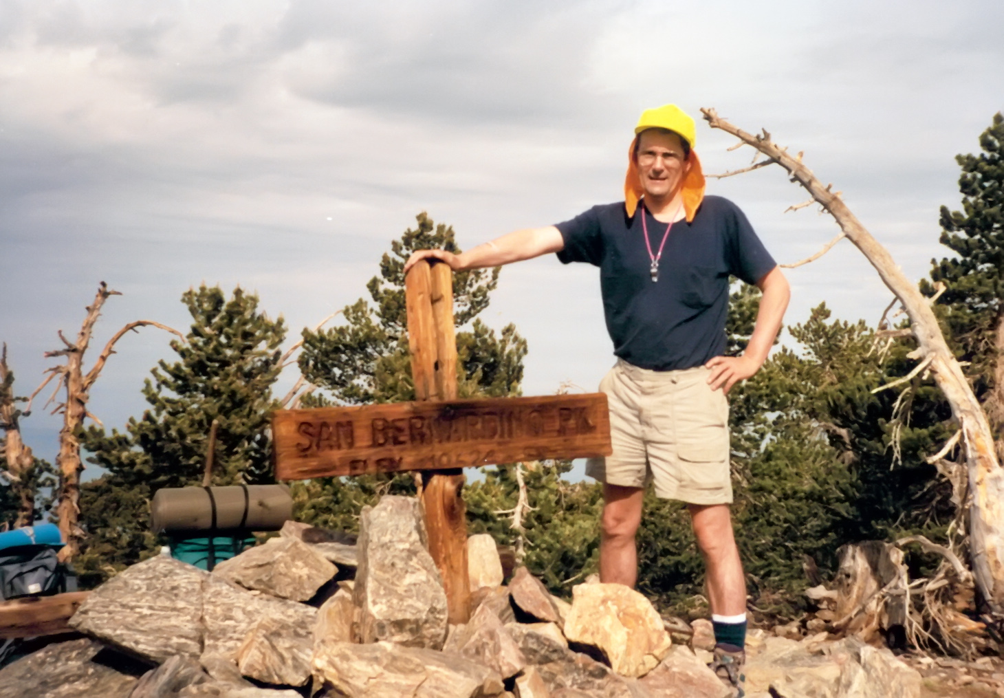
|
|---|
| On San Bernadino Peak |
Beyond the Washington Monument you begin the descent from the ridge in a northerly direction.
After a little more than a mile you pass through
Limber Pine Spring at
34.12755oN 116.92896oW and an elevation of 9577ft, some
12.96mi from the start. The next waypoint on the descent is
Manzanita Spring at
34.13939oN 116.93855oW at an elevation of 8297ft, some
14.98mi from the start. This where the possible descent paths diverge. An alternative at this point is to descend on the established trail to Angeles Oaks if that is where you have
set up a car shuttle prior to your hike. Here we describe the closed loop trail to the intial
parking area that can be navigationally challenging. At Manzanita Springs you first must locate the rough trail that proceeds north and then east to Johns Meadow at
34.14606oN 116.92650oW and an elevation of 7192ft, some
16.03mi from the start. Beyond Johns Meadow the trail proceeds east around a ridge
and over Stetson Creek to the junction with the more established Forsee Creek Trail at
34.15583oN 116.89830oW at an elevation of 7080ft and
18.50mi from the start. Continue down the Forsee Creek Trail to the junction with the
Jenks Lake Road at
34.16396oN 116.90607oW and an elevation of 6503ft, some
19.54mi from the start. A hike of another 2.5mi east on the Jenks Lake Road
will return you to the initial parking area at
34.16152oN 116.87199oW and an elevation 6883ft, some
21.90mi from the start.
Christopher E. Brennen